Underground Works
Tunnels, utilities, foundations and the ground around them: the subsurface rebuilt as a volume you can walk through, not a stripe chart.
What Parallax delivers here-
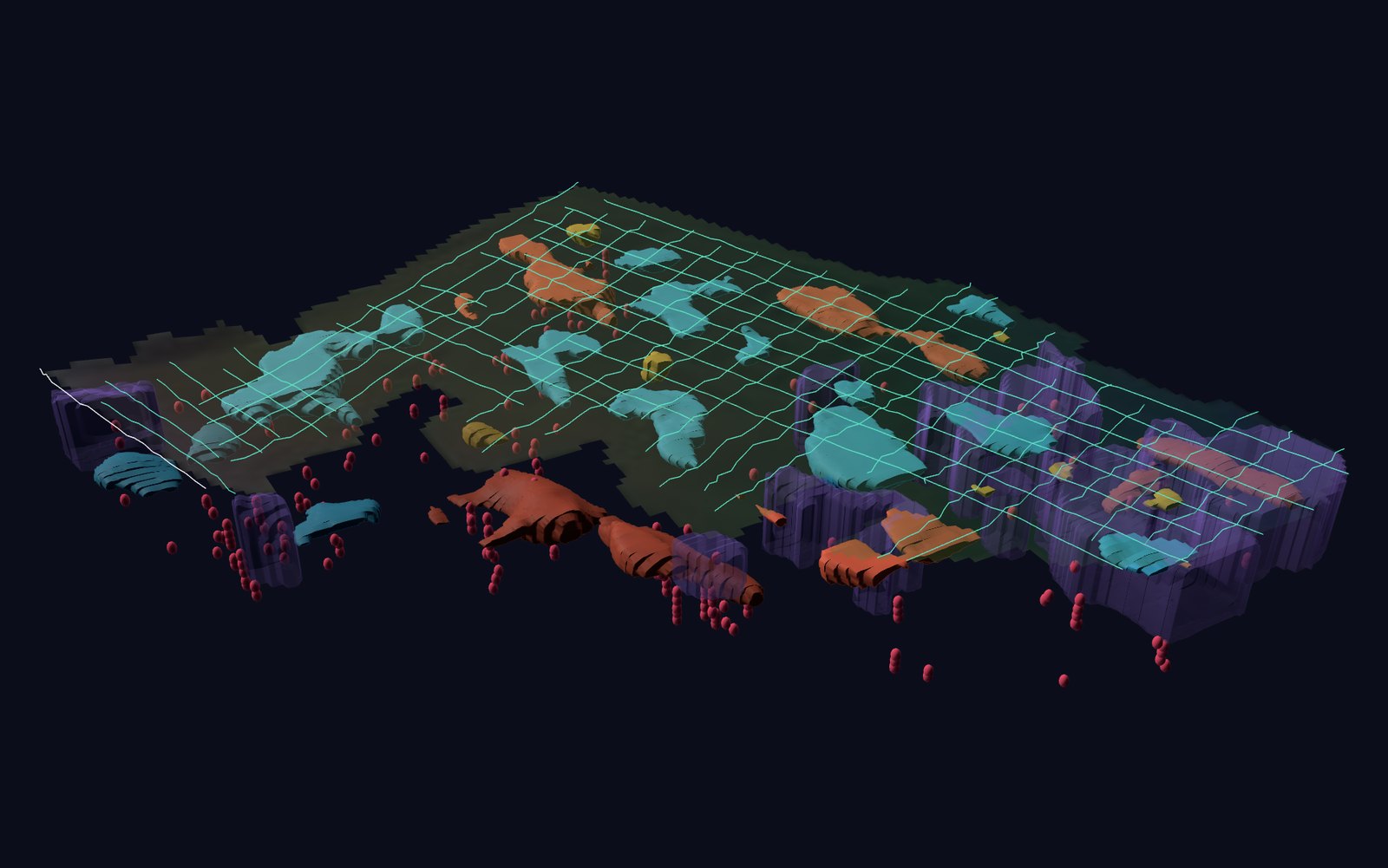
The subsurface in 3D
Radar lines from a drone turned into a volume: layers, elongated bodies and compact bodies read by shape.
 Drone
-
Utilities and cavities
Pipes, cables, voids and old foundations mapped as a volume down to ten metres.
 ODRADEK RoverIn development
-
Ground history above the route
Years of surface movement over the alignment, read from satellite archives.
 Satellite
-
Lines recorded as they are flown
Every radar section placed in the ground in real position as the drone records it.
Drone
-
Settlement over the dig
The surface above the excavation followed as the works advance.
Satellite
-
Ground around the excavation
Loosened and saturated ground around the dig, read from above.
ODRADEK RoverIn development
-
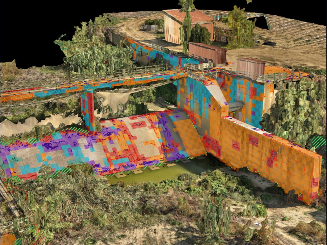
Voids beneath the asset
Cavities and washed-out material under the finished asset, found before they surface.
ODRADEK RoverIn development
-
Leaks before they surface
Moisture fronts around a buried line flag a leak early.
ODRADEK RoverIn development
-
Subsidence over the tunnel
The ground above the asset followed over the years from orbit.
Satellite

 Ground surfaceBelow it


 ODRADEK Orbit