

Unveiling The Hidden
We know much about our planet, yet most of it remains unexplored.
We Call It Earth Observation.
One word for a firehose of signal most systems never open.
A Picture Is Not The Data.
- Resolution What's below the pixel is discarded, not absent.
- Depth Structure and volume are flattened into a single plane.
- Time One frame hides everything that changed to make it.
Every Capture Contains Millions Of Points.
We don't compress that signal away. We read it.
Order Emerges From The Noise.
Contours, layers, structure — the shape of what was always there, made visible.
This Is What We Call Intelligence.
How We Work
Multiple Sources. One Model.
Every acquisition platform trades off precision, persistence and coverage differently.
We push further.
Parallax, our proprietary software, fuses what every platform captures into a single processing node — one model, continuously built, sized to what each project actually needs.
-
01
Capture
Each platform acquires the same ground its own way — different footprint, different resolution, different physics.
-
02
Reconstruction
Every capture converges on Parallax, fused into one georeferenced model.
-
03
Analytics
Domain analytics turn that model into numbers, vectors and maps, each with its stated margin.
-
04
Delivery
A navigable report and an offline portfolio — every number traceable to the map and method behind it.
Parallax
One model. Every deliverable.
Everything the pipeline produces converges here and stays there — versioned, georeferenced and traceable back to the capture that made it.
Our Platforms
Proprietary observation platforms, each built for a different class of intelligence.
Every platform we operate exists to unlock data that cannot be sourced anywhere else.
Drone capture today, ODRADEK Rover and Orbit into the same pipeline next.
Subsurface Intelligence
ODRADEK Rover
Non-invasive subsurface intelligence from a tethered aerostatic array — what lies beneath, without breaking ground.
Explore ODRADEK Rover Space IntelligenceODRADEK Orbit
The next-generation satellite architecture for augmented precision from space — two tethered satellites resolving vessel motion in a single pass.
Explore ODRADEK OrbitOngoing Projects
QUASAR
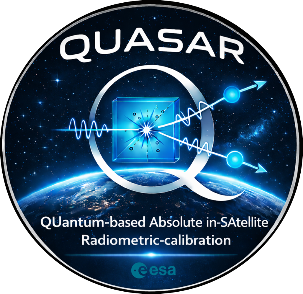
ASTRO is a partner in the QUASAR project, funded by ESA and led by INRiM with Starion Italia and Politecnico di Torino. The project explores quantum-based absolute radiometric calibration directly on board satellites to improve long-term stability and traceability of Earth Observation measurements.
ASTRO contributes expertise in space system engineering and Earth Observation mission design, supporting system-level feasibility studies and the integration of quantum calibration concepts into future satellite platforms.



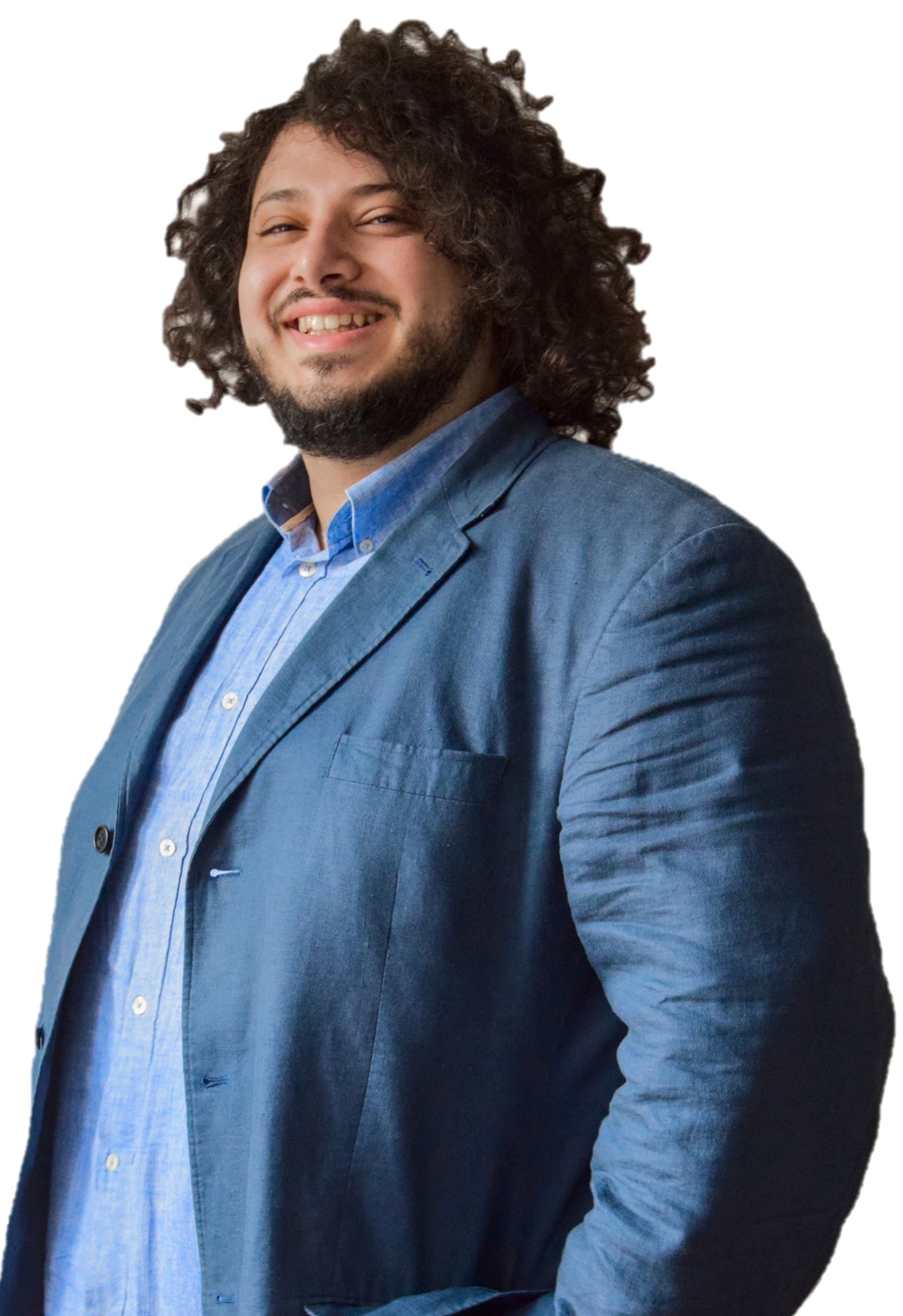
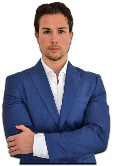
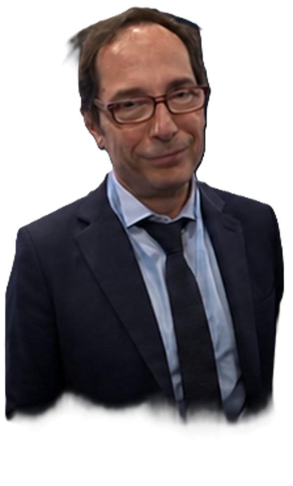
Meet The Team
Founders and advisors across space engineering, remote sensing and aerospace research.
Early Investors
Awards

Funded Projects
Business Supporters




Contact Us
Build the next layer of intelligence with ASTRO.
Fill out the form to get in touch with us.
info@astro-tethers.com
info@pec.astro-tethers.com
Corso Castelfidardo 30/A, 10129, Torino (TO), Italia
VAT: 13300570010