Construction & Engineering
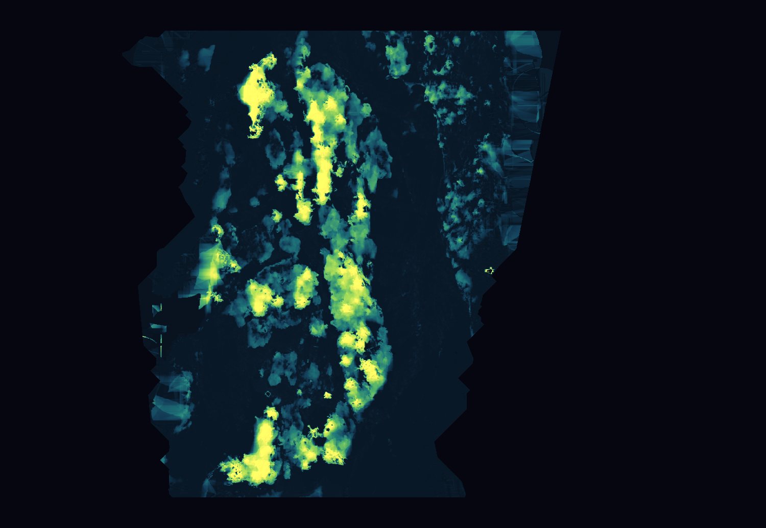
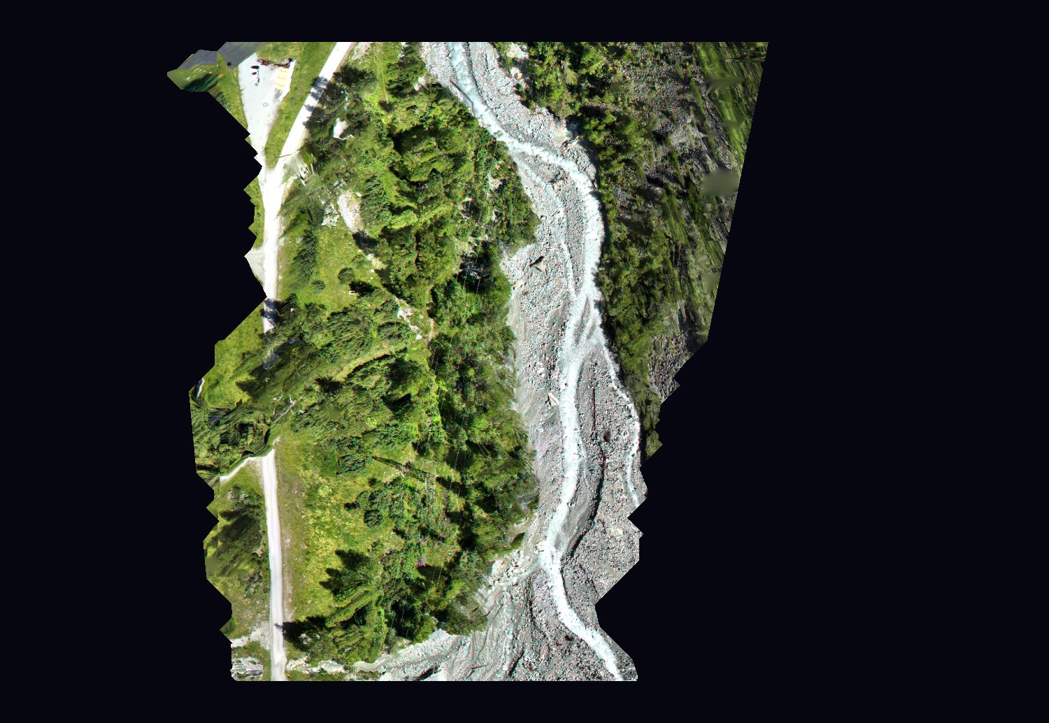
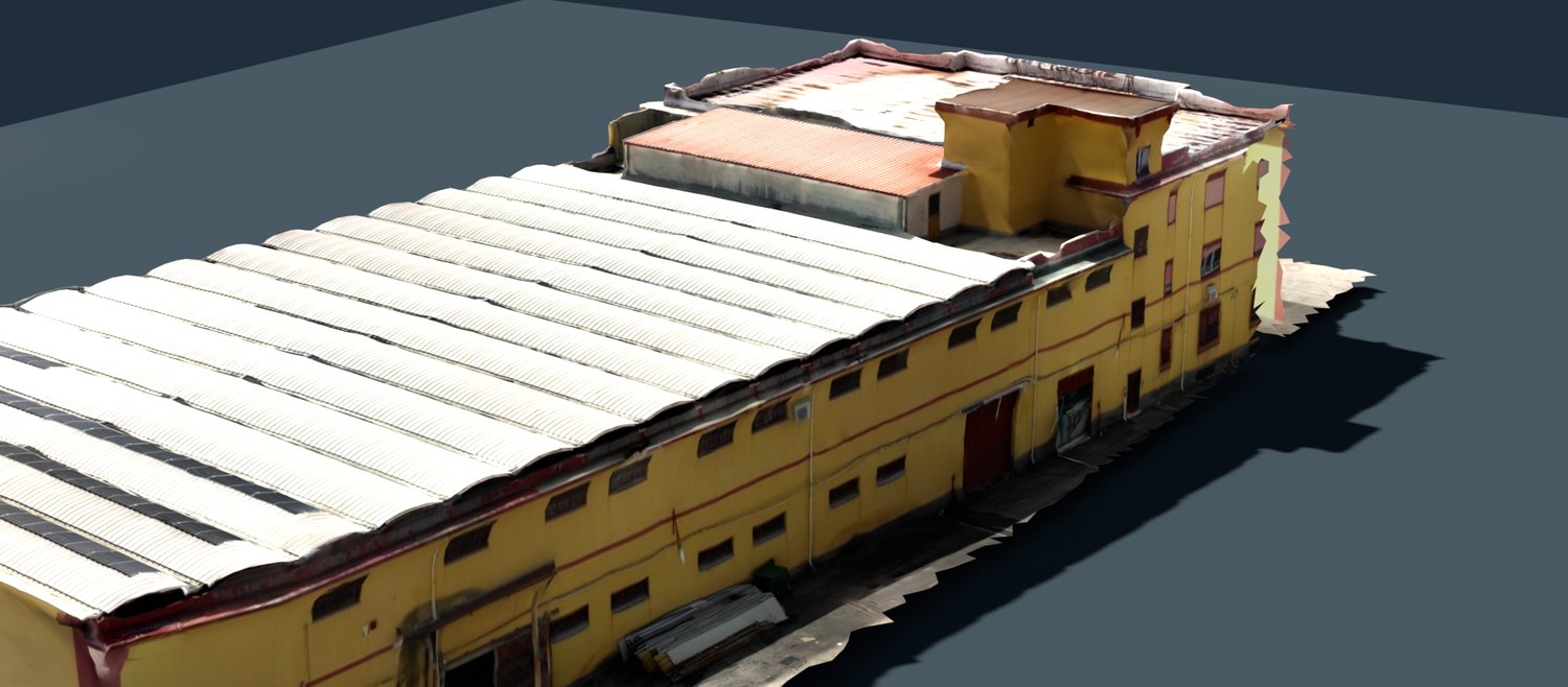
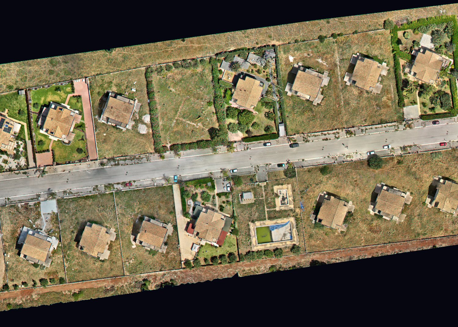
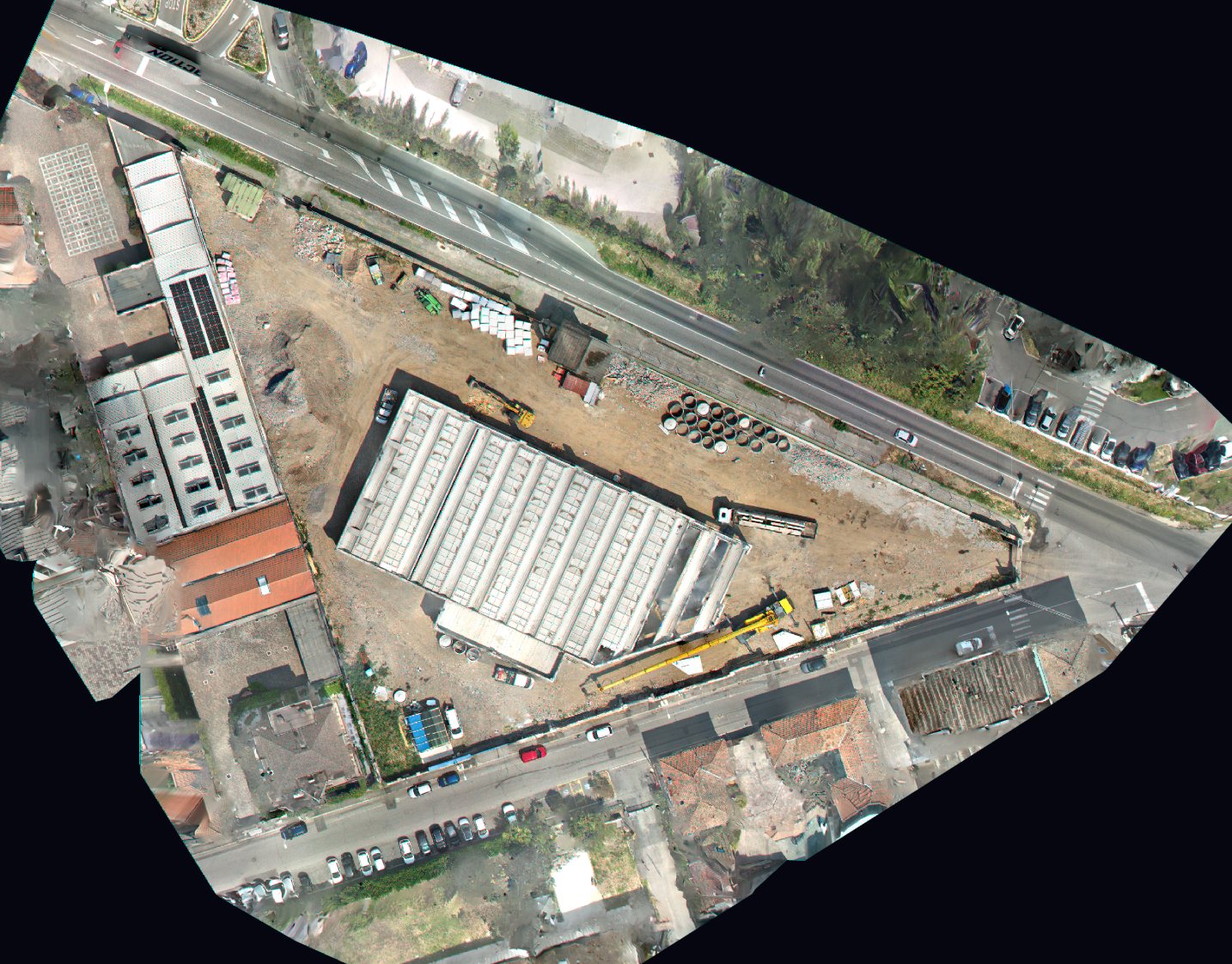
What actually moved on site between two dates — across the whole footprint, not sampled at a handful of stations.
What Parallax delivers here-
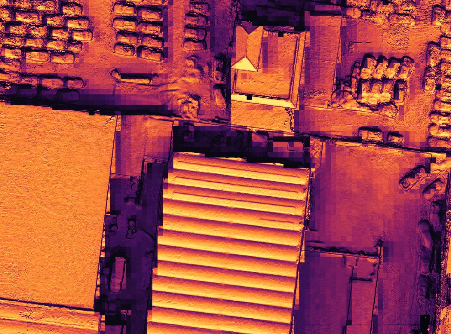
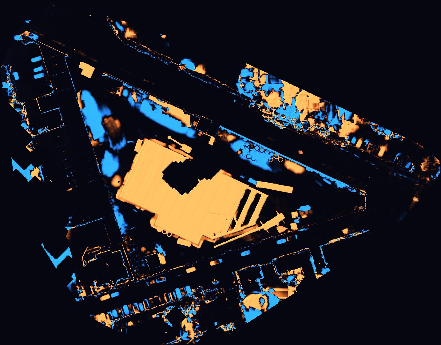
Earthwork, measured
Cut and fill over the entire site, with the detection limit stated alongside it.
 Drone
Drone
-
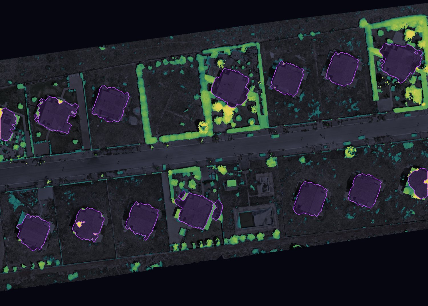
Progress you can attribute
Every area of change isolated, so progress and SAL documentation map to a part of the site.
Drone
-
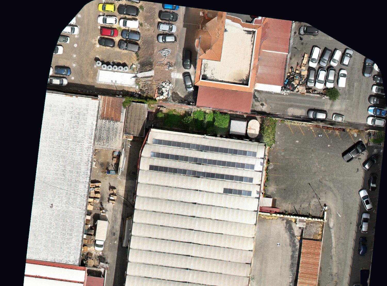
Stockpiles where they stand
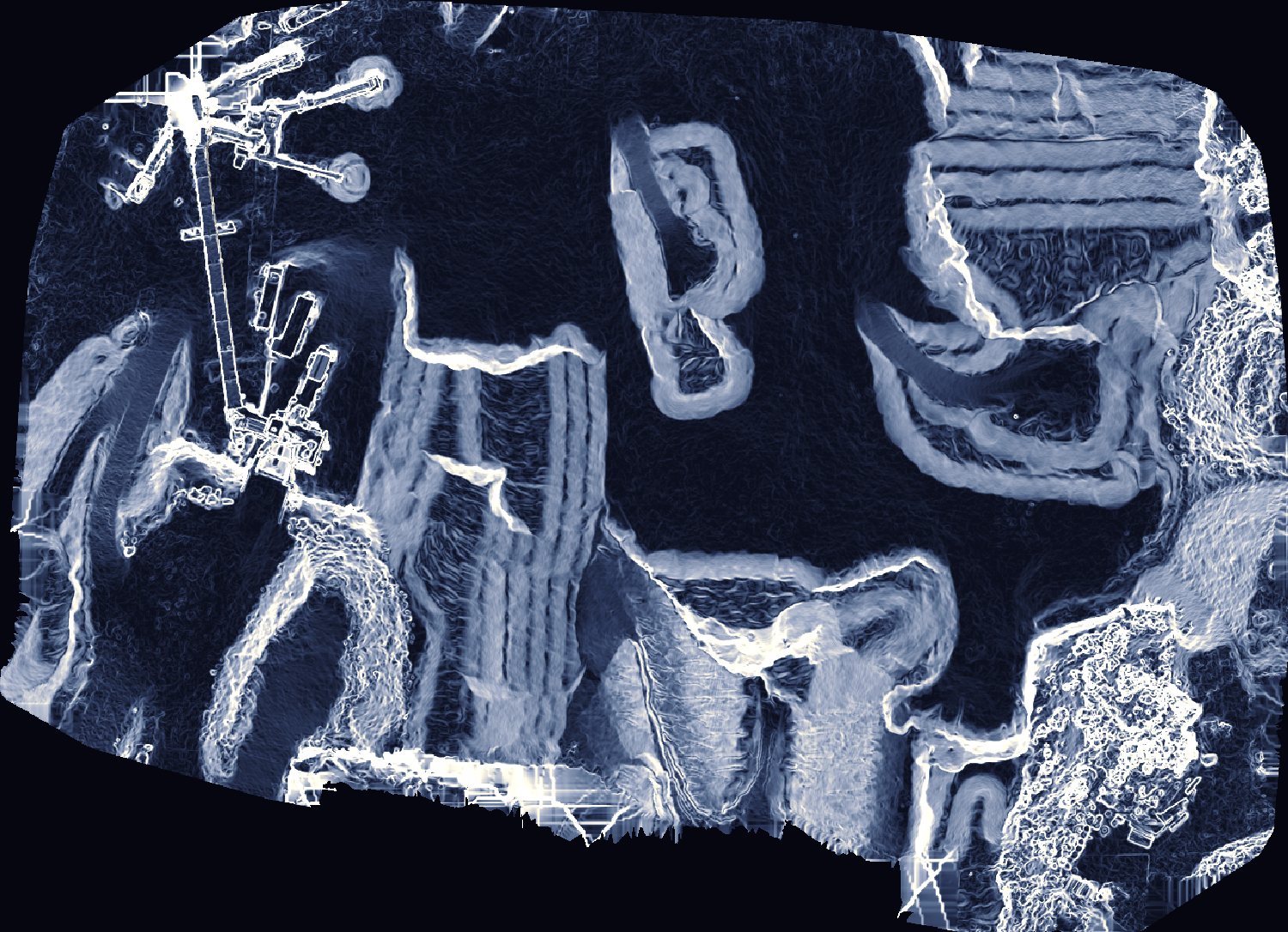
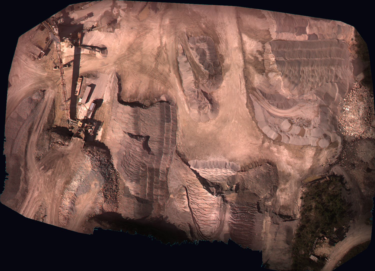
Volumes taken in place, with nobody walking the pile to get them.
Drone
-
Ground movement around the site
Settlement of the site and its neighbours followed over months, from satellite archives.
 Satellite
-
Buried utilities before the dig
Pipes, cables and ducts located and depth-tagged ahead of excavation.
 ODRADEK RoverIn development
 ODRADEK Orbit