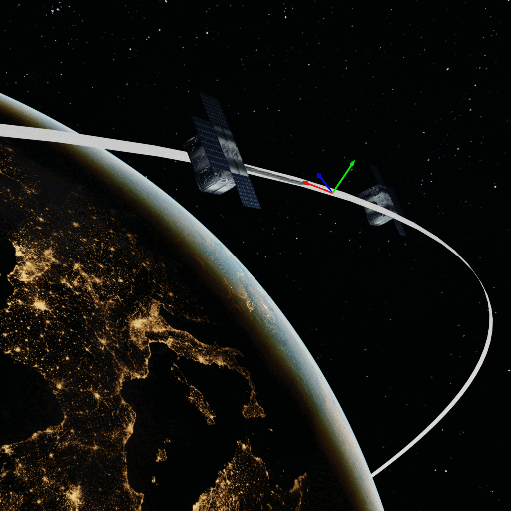
Along-Track
Direction of motion
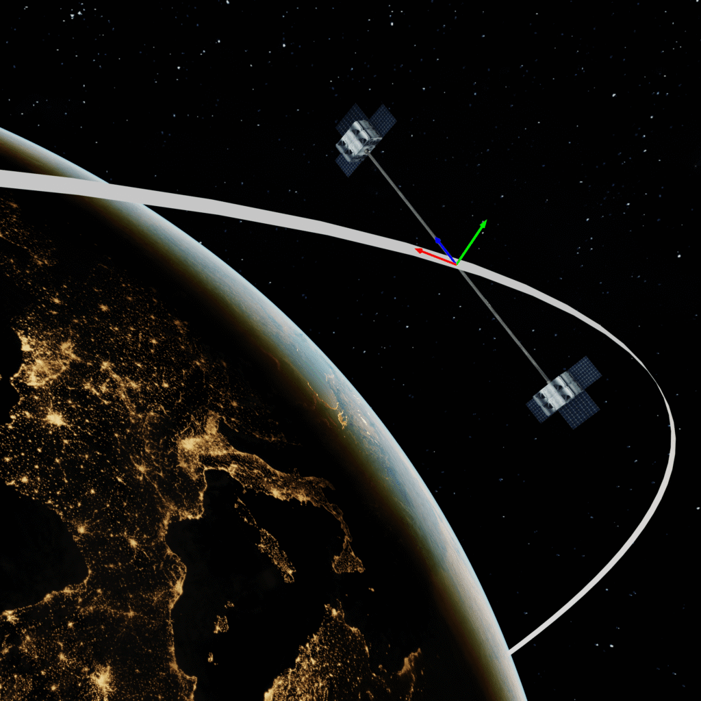
Cross-Track
Direction of orbital plane normal
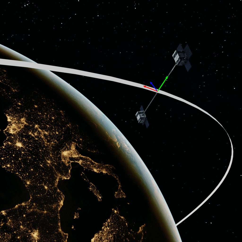
Radial
Direction toward Earth
Stereoscopic Imagery & 3D Terrain Reconstruction
By acquiring optical images from multiple viewing angles, the system generates highly accurate stereoscopic pairs that enable the reconstruction of digital elevation models and 3D surface geometry. This enhances spatial understanding of landscapes, infrastructure, and terrain dynamics with fine vertical and horizontal precision.

Urban Planning

Precision Agriculture

Defense
Bidirectional Reflectance Distribution Function
Endowed with high-resolution optical and multispectral sensors, the system passively captures sunlight reflected from surfaces at multiple angles, enabling the measurement of specular reflectance and bidirectional reflectance distribution functions (BRDF) for detailed material characterization. By observing targets from dual perspectives, it can assess surface anisotropy and reflectance variability across wavelengths, providing valuable insights into surface composition and structure.
Precision Agriculture

Energy

Environmental Monitoring
Moving-target detection
By exploiting phase differences, Doppler shifts, and multi-look processing, SAR data can isolate and track moving objects against static backgrounds. This enables the detection of vehicles, vessels, or other dynamic elements even in low-visibility conditions, providing a robust framework for situational awareness and real-time monitoring.

Air Surveillance

Maritime Surveillance
Defense
Subsurface Stratigraphy Analysis
Low-frequency SAR modes can penetrate soil, sand, ice, and vegetation, revealing buried layers, geological boundaries, and structural discontinuities. The resulting dielectric contrast profiles enable reconstructions of subsurface stratigraphy, supporting both scientific exploration and resource assessment.

Mining

Insurance
Environmental Monitoring
Surface Deformation & Infrastructure Monitoring
Through interferometric SAR (InSAR), the system measures millimeter-scale ground and structural movements over wide areas. This allows continuous monitoring of land subsidence, fault-line activity, volcanic deformation, and the structural health of critical infrastructure.
Urban Planning
Insurance
Ocean Surface Monitoring
GNSS-R can retrieve information on ocean surface roughness by analyzing the scattering characteristics of GNSS signals reflected from the sea. Variations in the delay–Doppler signature correlate with wind speed, wave height, and sea-state conditions, enabling continuous, wide-area monitoring.

Weather forecast
Energy
Environmental Monitoring